Fly safely in all conditions. Check our app and air map before piloting your DJI quadcopter.
The essential mobile app for UAV and DJI pilots. Get ready to fly with confidence.
Drone Forecast is the trusted companion for hobbyists and professional pilots. Enhance flight safety by checking weather conditions and avoiding no-fly zones with our integrated air map.
Ensure safe flights for your UAV, RC aircraft, or DJI drone.
All essential flight information in one mobile app:
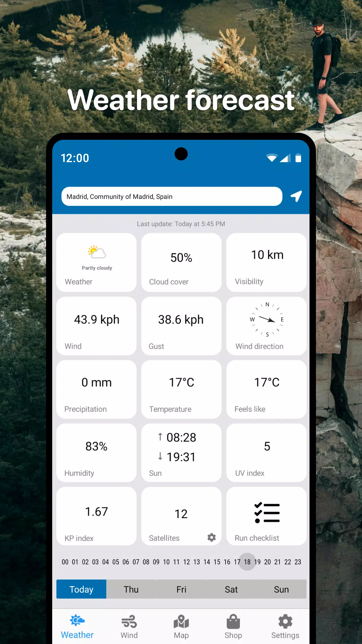
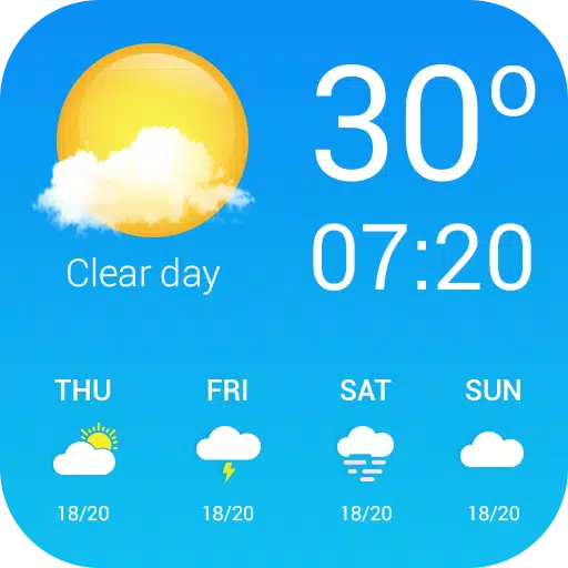
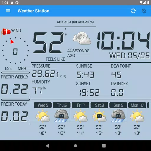
- Detailed real-time weather forecasts for UAVs in your selected area
- Hourly forecasts and 3-day outlook
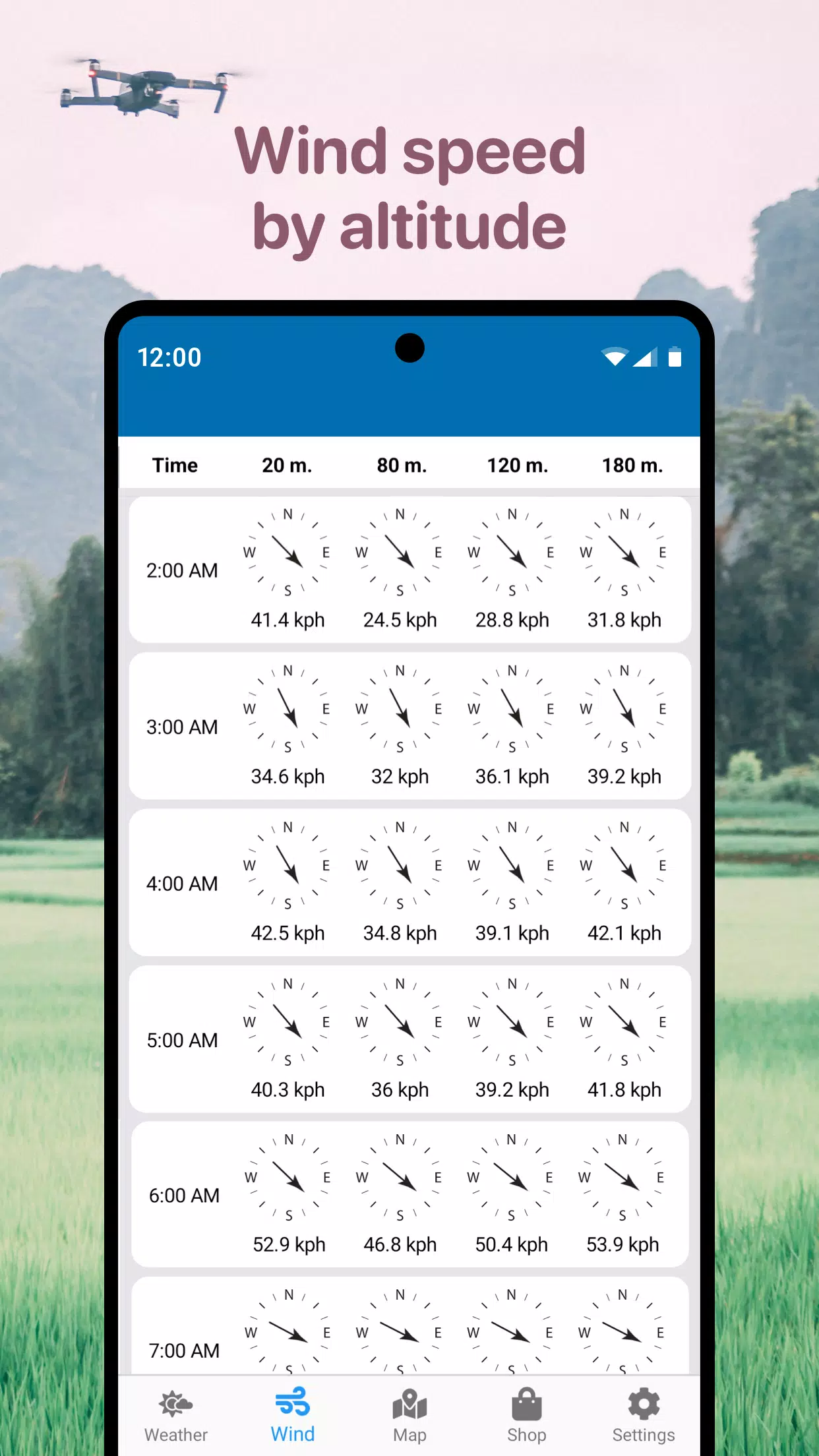
- Wind speed, peak gusts, direction, and altitude-based details
- Sunrise and sunset times
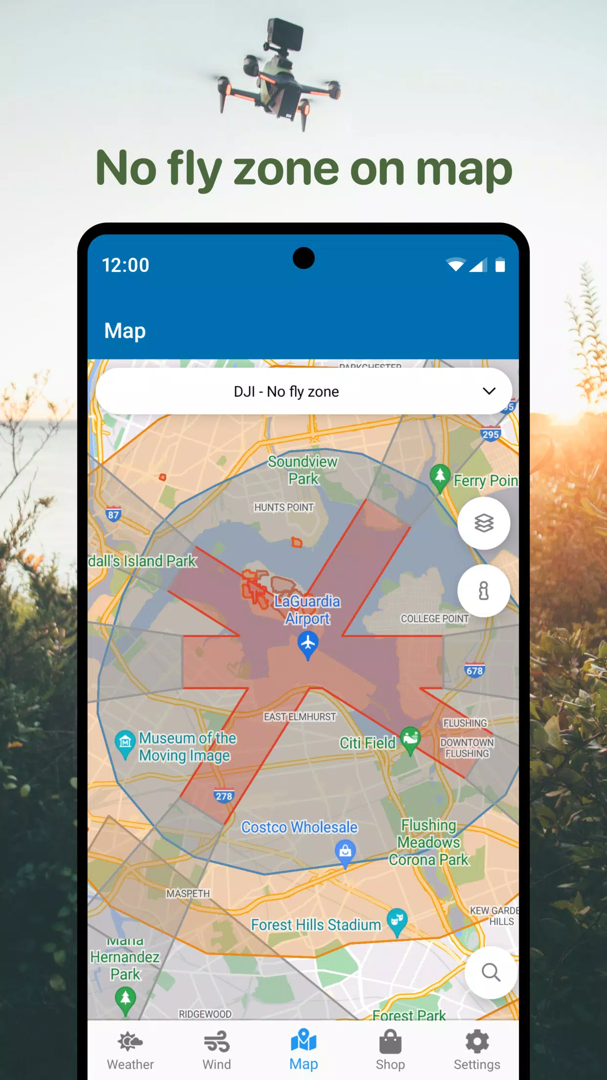
- No-fly zone drone air map
- Compass to determine wind direction
- Additional useful parameters for DJI and other drones
Locate safe airspace for quadcopter flights using our No Fly Zone map. Avoid airports, heliports, and restricted areas marked in red.
This drone app is your perfect assistant for safe deployments, helping you steer clear of poor weather and restricted zones. Quickly access vital information for flight planning, including UAV wind forecasts and no-fly zone mapping.
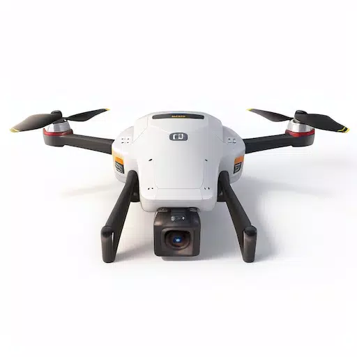
A universal tool with air map support for DJI Mavic, DJI Phantom, Inspire, DJI Mini, DJI Air, Spark, Parrot Bebop, Xiaomi, Autel, Walkera, Yuneec, Hubsan, FIMI, Syma, Volocopter, Skydio, and other Unmanned Aerial Vehicles (UAVs).
Download the drone app now and pilot your RC aircraft, UAV, or DJI drone with safety and confidence.
What's New in Version 1.4.5
Last updated on Oct 22, 2024
- Performance improvements